The Mission Valley Community Planning Area is positioned to take Kosa'ii from the Old Town San Diego Planning Area. But we caught them with their hand in the cookie jar.
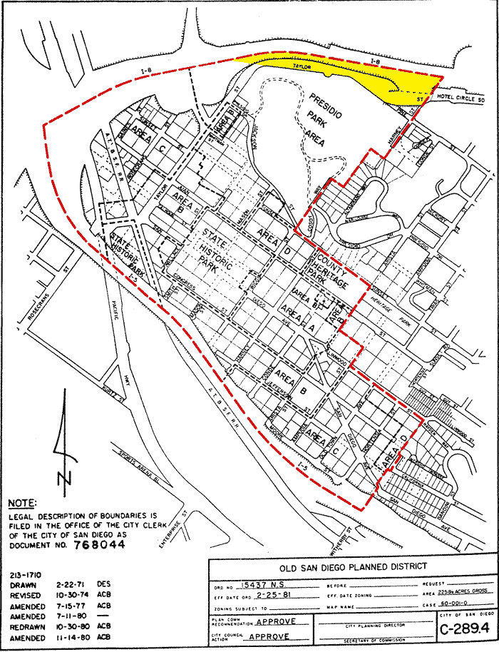
This area is in the Old Town Historic District, not the Mission Valley Community Planning Area. ===>
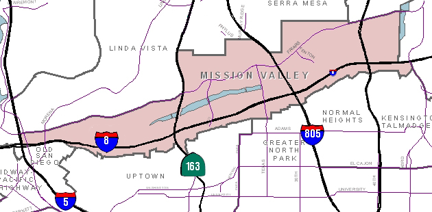
This map of the Mission Valley Community Plan is from the City of San Diego's web site. Notice that the north end of the eastern border of Old San Diego is terminated by Taylor Street and not the center of Interstate Highway 8 as on the Old San Diego District map above! The M.V. Community Planner announced that it is part of the Mission Valley Community Plan.